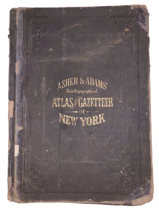
Asher & Adams' New Topographical Atlas and Gazetteer of New York, Comprising a Topographical View of the Several Counties of the State, Together With a Railroad Map, Geological and Meteorological Maps; an Alphabetical Gazetteer, Giving a Concise Description and the Location of Cities, Villages, Post Offices, Railroad Stations, Landings, &c., Including a Fine Copper Plate Railroad Map of the United States and Territories, Drawn on the Polyconic Projection, Expressly for This Work.
New York: Asher & Adams, 1870. 1870 Edition. Large folio. [1] leaf, 15 hand-colored maps, engraved on copper plate and lithographed from original drawings, pp. 60–79, [13], [1 blank], [8]. Bound in the publisher’s original gilt-lettered black cloth-covered boards. A detailed post-Civil War atlas and gazetteer of New York State.....